Topographical Surveys & Utility Tracing
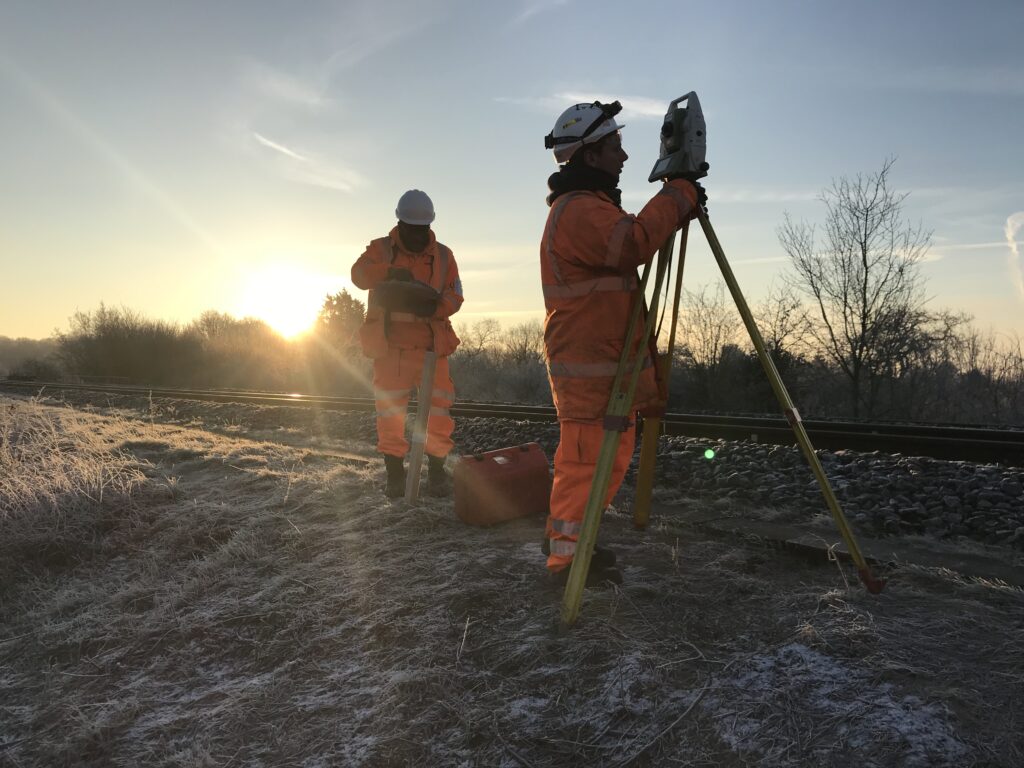
Topographical and 3D surveys
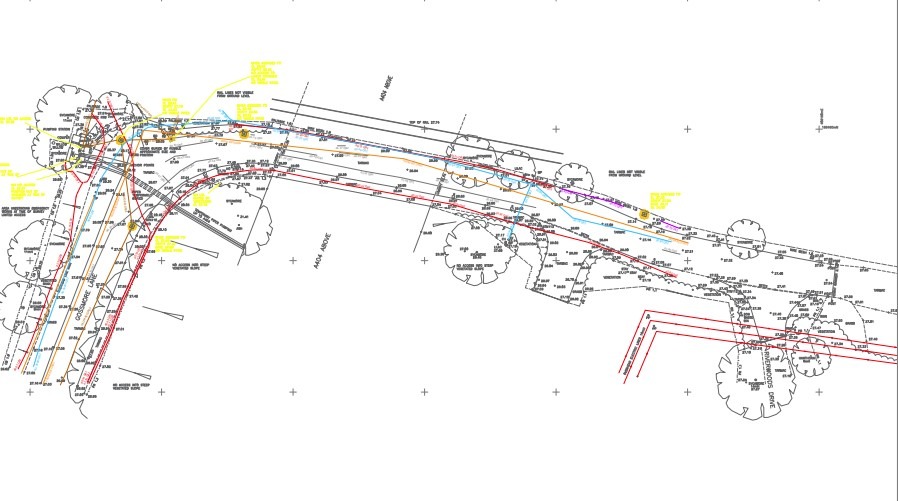
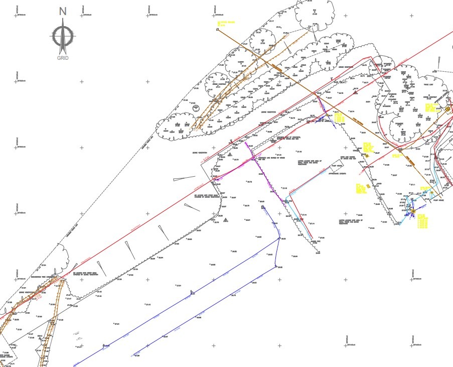
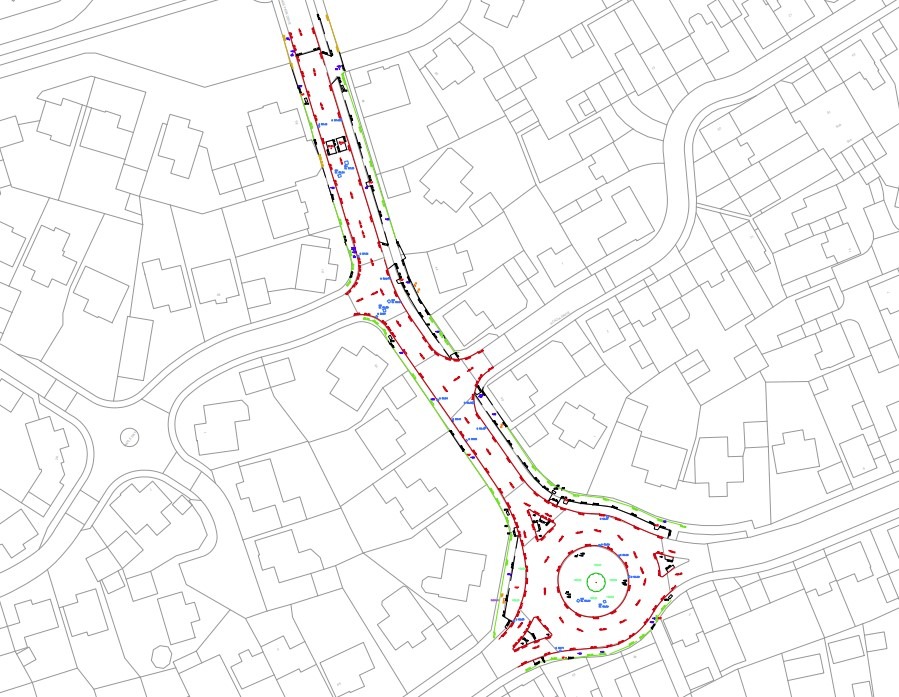
We have carried out topographical and 3D surveys in high profile projects which enabled us to design sewer strengthening options and condition assessments of existing sewers and sewer chambers. We have expertise in assessing the structural integrity of the existing structures using these methods using industry standard equipment like Leica P40 and P50, BKK that generate point clouds which are translated into AutoCAD data using inform design as existing data. We have been able to use this data for BIM modelling that aids in building a visual of the overall infrastructure and how the new design work interacts/fits with the existing.